AVILAS Stakeholder Workshop 2024
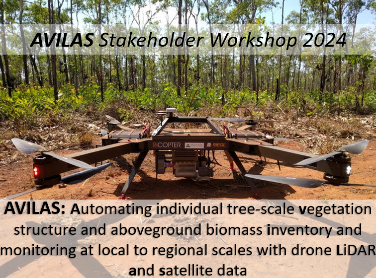
The AVILAS team based at the EORC at UQ hosted an online workshop with stakeholders in the federal government, state government, research institutions and industry. The workshop aimed at bridging the gap between remote sensing capabilities and the needs of government and industry stakeholders. It explored the potential of highly detailed 3D vegetation structure mapping at plot scale or larger using UAV LiDAR data, specifically for biodiversity and biomass assessment.
The workshop aimed to:
Identify gaps between current remote sensing technology capability and user requirements, across different user groups.
Assess data management and readiness for 3D digital twin datasets.
Evaluate the impact of delivering high quality 3D tree metrics at scale (from automated LIDAR processing).
Understand how these datasets can address key challenges and enhance decision-making in regulatory and industry contexts.
Overall, the workshop was very successful and provided great validation to the project team to continue pursuing its main goals. Government and industry are excited for the potential of these remote sensing tools play a larger role in monitoring and assessment.
Contact Dr Will Woodgate (w.woodgate@uq.edu.au) for more info.

